Subtropical Storm Josephine forms off the Mid-Atlantic coast
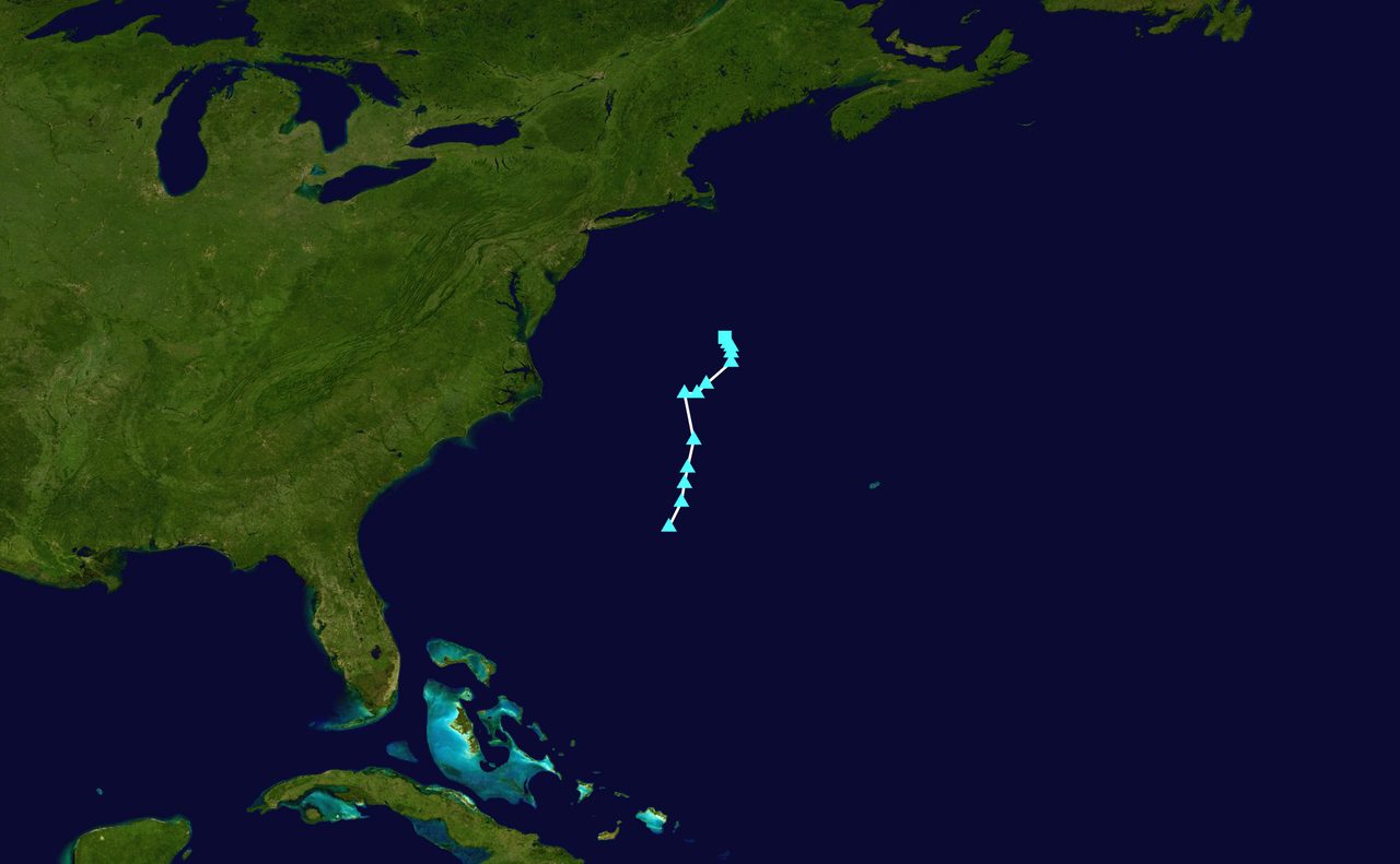
Photo: Hurricane Jacob / Public domain · via Wikimedia Commons
Subtropical Storm Josephine forms off the Mid-Atlantic coast
A nor'easter gets a name off the Mid-Atlantic coast
On October 21, 2026, the National Hurricane Center upgraded a lingering nor'easter spinning off the Mid-Atlantic coast to Subtropical Storm Josephine. The storm was centered about 265 miles south of Nantucket, Massachusetts, with maximum sustained winds near 65 mph and higher gusts, moving north at roughly 6 mph.
NHC: a nuisance, not a catastrophe
The National Hurricane Center's assessment is that Josephine will be "nothing more than a nuisance for coastal areas" as it moves north. The NHC expects the system to accelerate northeastward away from the eastern United States by Friday, October 23, with environmental conditions becoming unfavorable for further subtropical or tropical development.
A hybrid storm earns its name
Unlike a traditional tropical storm, which draws its energy mainly from warm ocean water, a subtropical storm has characteristics of both tropical and non-tropical systems — in this case, a nor'easter. The storm had separated from fronts and its thunderstorms were becoming better organized, prompting the NHC to name it Josephine. It is the 10th named storm of the 2026 Atlantic hurricane season and was previously designated Invest 93L. The 10th named storm typically forms in late September, but a powerful El Niño has helped suppress storm activity in the Atlantic this year.
Carolinas to New England coasts feel the impact
Despite receiving a name, the storm's impacts remain the same. Coastal flood alerts are in effect for parts of coastal North Carolina, where 1 to 4 feet of inundation is possible, and high surf advisories call for waves potentially reaching 14 feet. Across parts of the Virginia, Maryland, Delaware and New Jersey coastlines, inundation up to a foot and waves to 10 feet are possible. A mandatory evacuation remains in effect for visitors on Hatteras Island, where significant ocean overwash is expected and portions of Highway 12 are closed due to flooding. Nine states are warned of the storm's impact. Forecasters warn rip currents could be life-threatening through the rest of the week.
Turning northeast, strengthening before weakening
Josephine is expected to turn northeastward tomorrow with a large increase in forward speed, moving away from the United States and remaining south of Nova Scotia and Newfoundland. It should remain a subtropical storm through early Thursday, with further strengthening likely by late Thursday as it becomes a post-tropical cyclone with hurricane-force winds of at least 74 mph. Weather.com reports the storm could reach sustained winds of 80 mph on Friday. The heaviest winds and rain will stay offshore.
Sources
- CNN: Subtropical Storm Josephine forms off Mid-Atlantic coast
- CBS12: Subtropical storm Josephine forms off the Mid-Atlantic coast
- WMBF News: FIRST ALERT - Josephine forms in the north Atlantic
- WFTV: Subtropical storm Josephine forms off Mid-Atlantic coast with 65 mph winds
- The Weather Channel: Coast-hugging nor'easter churns up high waves, strong winds