West Coast Storm May Be Just the Beginning: Super El Niño and Kelvin Waves Are Knocking
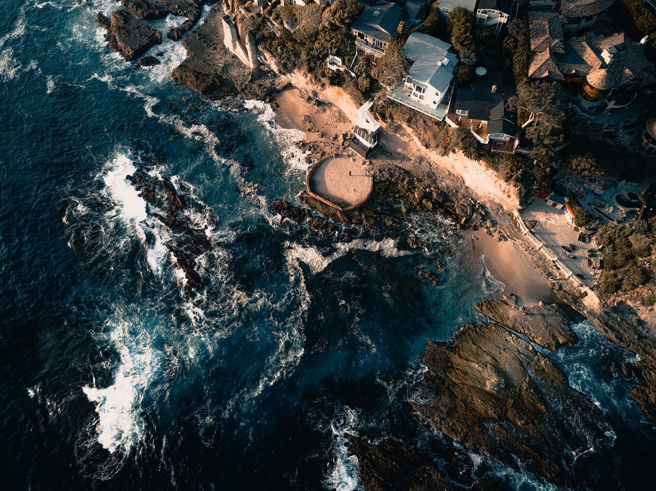
Photo: Derek Liang / CC0 · via Wikimedia Commons
Why a West Coast storm may be the start of something much bigger
A wave you cannot see is already raising West Coast sea levels
A broad, flat pulse of warm water known as a Kelvin wave is pushing along the U.S. West Coast, raising sea levels by six to twelve inches (about 15 to 30 centimeters). It moves at roughly six miles per hour, is invisible from shore, and does not break like an ordinary wave; scientists compare it to a slow sloshing of water. Yet even two to four inches of rise can roughly double coastal flooding risk in low-lying areas.
Official word: a record-breaking El Niño
NOAA's Climate Prediction Center said on October 8 there is an 83 percent chance that the October-to-December El Niño reading will beat every El Niño in its records back to 1950. Climate scientist Daniel Swain wrote on his Weather West blog that, as of mid-October, this El Niño had become the strongest on record by almost any metric, with the weekly Oceanic Niño Index at +3.3°C against a previous record of +2.1°C. Swain also noted this event is centered farther east in the Pacific than any before it.
Why the Kelvin wave changes West Coast weather
Kelvin waves form in the far western equatorial Pacific when the trade winds weaken, letting warm water "slosh" back toward South America. The wave travels east beneath the ocean's surface, then splits at South America's coast, running north along the West Coast and south as far as Chile. NASA likens it to an underwater freeway carrying heat thousands of miles west to east. Dillon Amaya, an assistant professor at North Carolina State University, says Kelvin waves are a symptom of El Niño and usually subside before the El Niño peak.
Who feels it first
Coastal cities, beaches and estuaries are the first to take the hit. Authorities are placing emergency sand on beaches as quickly as possible, according to a local official cited by ABC News. Several storms this season have already produced significant beach erosion, and AccuWeather's Alex DaSilva told USA TODAY that powerful atmospheric rivers this winter may continue the trend, bringing strong winds, flooding rains and spring snowmelt flooding.
A third wave is forming, with storm season stretching into early winter
A strong El Niño year typically produces five to six Kelvin waves; the last major El Niño in 2015-2016 had five. One already came through in May or June, a third is forming, and experts expect it to continue up the coast over the next month or so. Amaya predicts the next Kelvin wave will reach San Diego in late October or early November, with several more through fall and early winter. NOAA's winter outlook calls for numerous strong storms affecting the West Coast and the southern half of the country. DaSilva said the first atmospheric river could arrive as early as mid-November, with the most frequent ones in January and February, and warned of a couple of very strong atmospheric rivers capable of significant flooding.
Sources
- NPR: A Kelvin wave raised sea levels on the West Coast. More are coming
- USA Today: El Niño to fuel powerful atmospheric rivers aimed at West Coast
- rollingout: Strongest El Niño on record threatens California with historic winter flooding
- CNN: Super El Niño will determine which parts of US get rain and snow this winter
- National Geographic: A Pacific 'Blob' is Pulsing Up the West Coast. Here's What's to Expect.